Cadw and Historic England (HE) have both produced guidance on why it’s important to understand the significance of a landscape. When we appreciate what makes a site special, then we can begin to find ways to conserve this, or manage changes to ensure that they have as little impact as possible on these special qualities. When we research a landscape and visit in order to record what is there, that is the perfect opportunity to work out what is significant about a site, and what features remain that embody that significance.
This approach to understanding a site is enshrined in planning policy. The requirements of the National Planning Policy Framework (NPPF), which now underpins all planning decisions in England and Wales, must be taken into account in all planning decisions. Whilst significance is touched on all the way through the NPPF, it starts off laying out core principles, including that planning should “conserve heritage assets in a manner appropriate to their significance, so that they can be enjoyed for their contribution to the quality of life of this and future generations’.
So, if we want to conserve our historic designed landscapes, and explain to others what it is about them that needs to be conserved, we need to be able to articulate their specialness!
HE guidance sets out how we can usefully describe a landscape in terms of where its importance lies, what values we can give it. The calculation of the values falls under 4 headings:
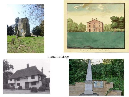
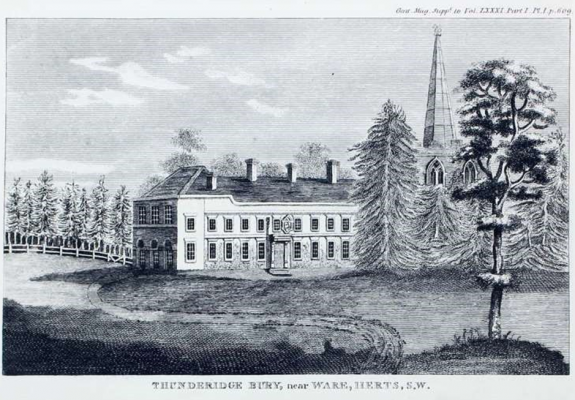
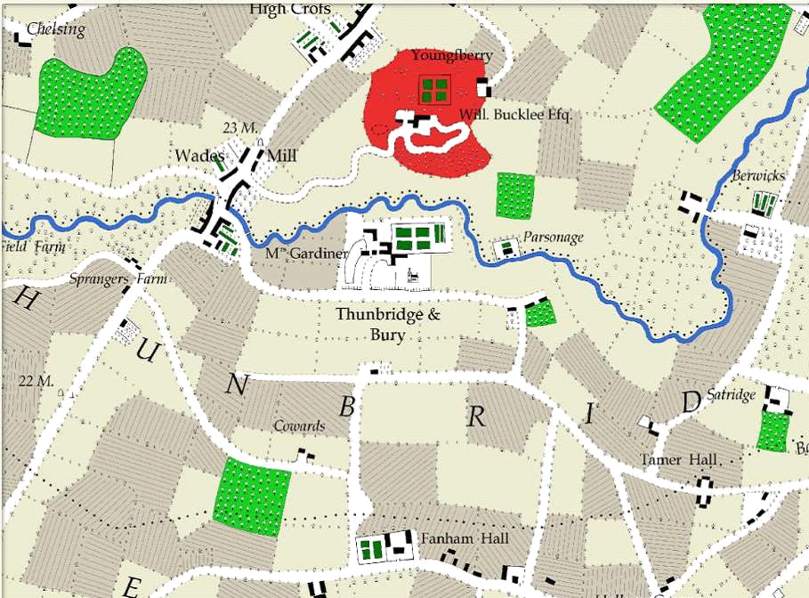
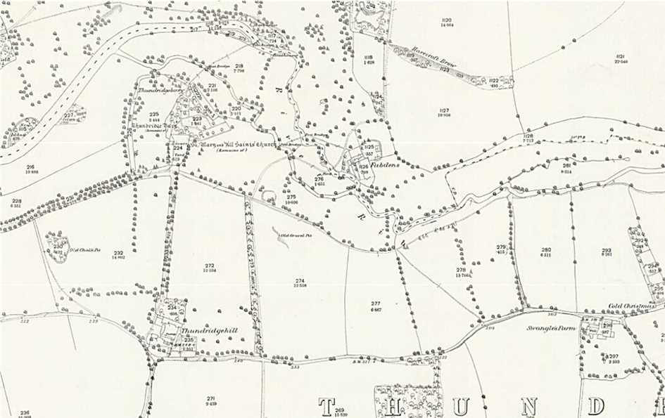
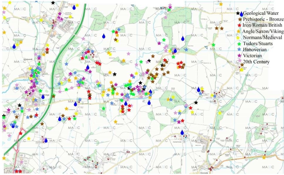
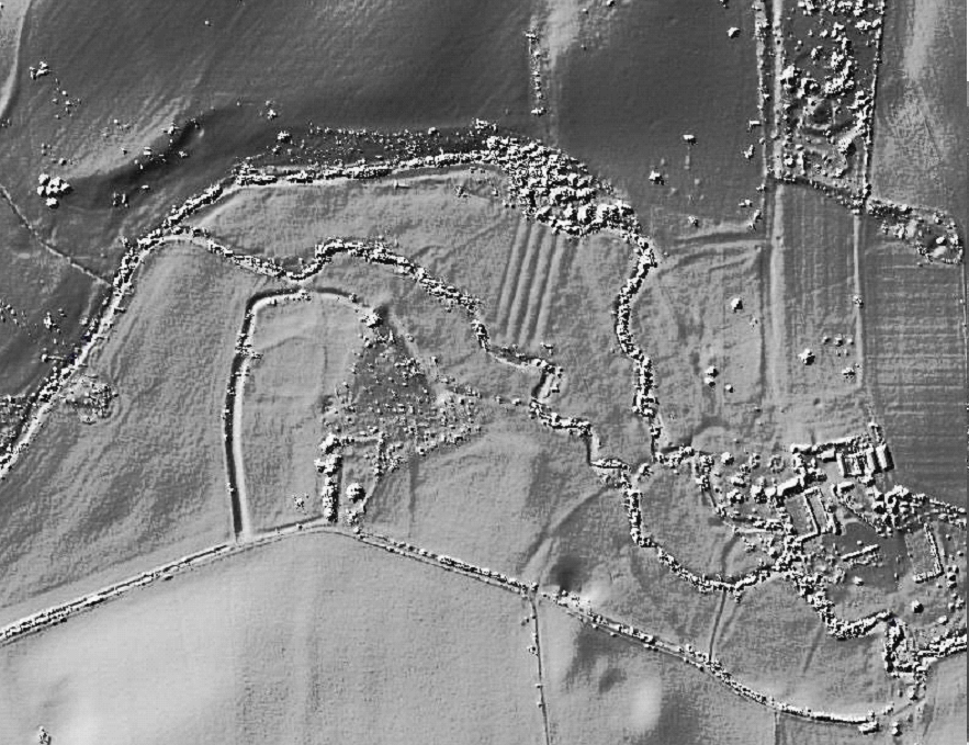
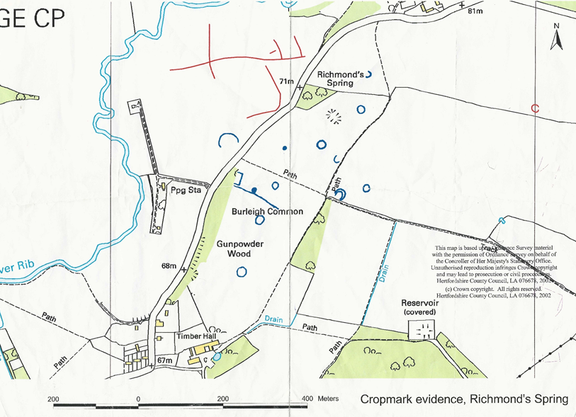
- Evidential value: the potential to yield new evidence about past human activity; how it matters for future understanding and use – the humps and bumps of archaeology are a good example of this, such as at Thundridgebury, the tumuli at Youngsbury, crop circles and LiDAR anomalies
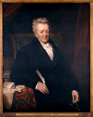
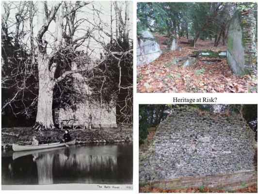
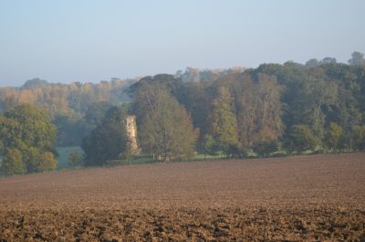
- Historical value: the ways in which a site is connected to past events and people; how it tells our national story – this could be with an artist, designer, writer etc, such as Louisa Puller, Alfred Glendening, Charles Lamb, Thomas Clarkson; or be a place that evokes or illustrates past events, such as Thundridgebury, Youngsbury, Wadesmill Bridge and the Turnpike
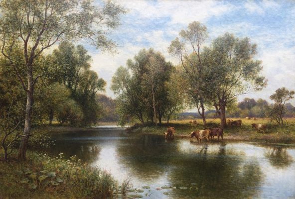
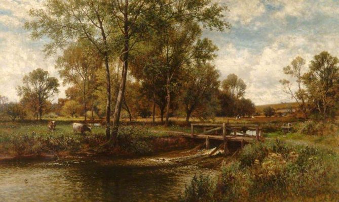
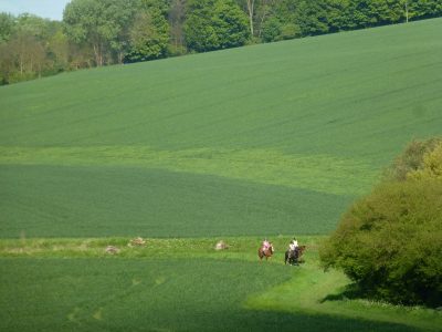
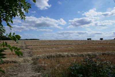
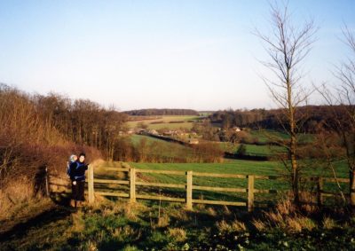
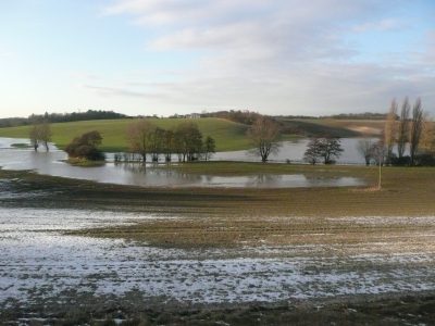
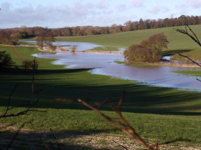
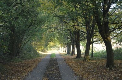
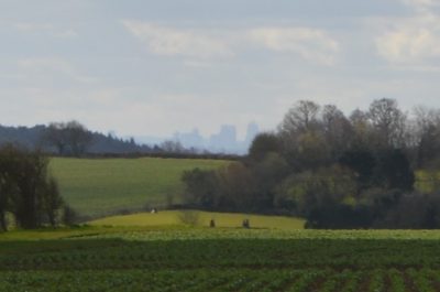
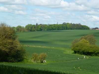
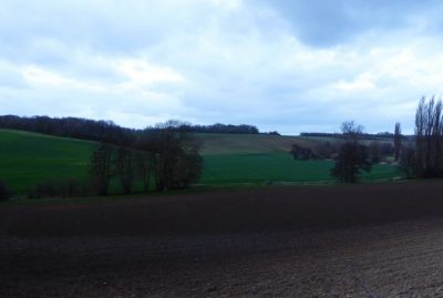
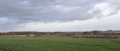
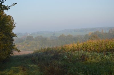
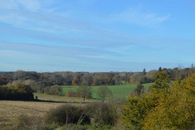
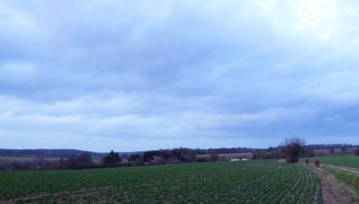
- Aesthetic value: the way a place can give us sensory and intellectual stimulation and how people respond emotionally – it doesn’t necessarily have to be beautiful in the traditional sense! Its appeal might be designed or fortuitous. The Rib valley with its views, its unspoiled landscape and the changing experience of different weather and seasons.
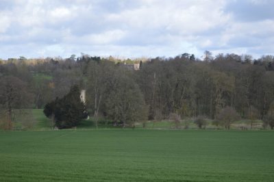
- Communal value: the meanings we give to a place through our collective experience or memory of it; how it brings people together – currently the meaning of landscape in commemoration of World War I and war memorials, Thundridge old church and its community values, as open space, opportunity for other recreation such as walking and the enjoyment of the historical context.
Ignorance, apathy, and greed are the main threats.
The Rib Valley has already dodged several bullets, including Gravel extraction, rubbish incineration, railways and reservoirs. In recent times housing development is an ever more pressing issue, with loss of habitat and green space and pressures on natural services such as water extraction. It is easy to be complacent it can never happen here – until it does. We have to be forearmed
Developers are required to provide evidence of heritage and ecological impacts when submitting planning applications; however, these are usually desk-based research done by consultants who do not know the area and have little opportunity to consult locally before preparing their reports. The valley contains far more than is recorded either in the HER locally or on national lists. Local Planning Officers have neither the time nor the expertise to counter these desk-based assessments so it is up to those who know their area to set out the true case.
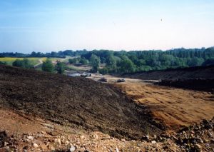
River valleys in Hertfordshire are known for their gravel deposits and many have been excavated over the years. This is often followed by landfill and in many cases housing. There have been threats in the past of gravel extraction round Barwick Ford and north of Youngsbury. Such threats may well return as easier deposits are worked out.
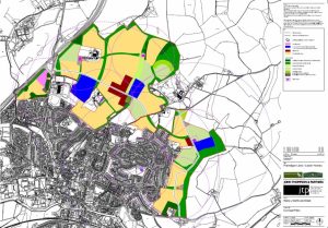
In the current EHDC Local Plan housing development (north of Ware) has been agreed right up to the southern edge of the interfluve. These Local Plans will be revised in due course and further land required for housing. It would be logical to carry on to fill the area between ‘north Ware’ and Thundridge. And as we have seen with the current Local Plans, Green Belt can be ‘de-Greened’. This is not to say that development should be denied. A pragmatic approach of seeing if, and where, limited development would not cause harm, should be undertaken – as it will be in the Neighbourhood Plan. It should be equally clear where there should not be development because of the significance of the individual site and its part in the overall valley.
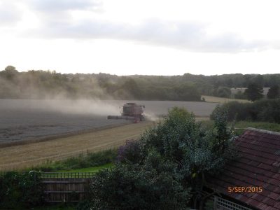
Other developmental threats, such as road improvements, have unfortunately left their mark already, but it should be remembered that changes to farming practices or plantation of trees of unsympathetic type or in significant locations, can also be a threat.